 Official Louisiana State Websites use .la.gov
  Secure .gov websites use HTTPS
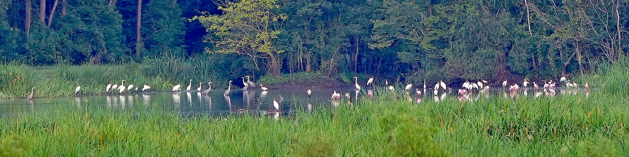
Sherburne WMA
Sherburne WMA is located in the Morganza Floodway system of the Atchafalaya Basin between the Atchafalaya River and the East Protection Guide Levee. LDWF owns Sherburne WMA (11,800 acres) but manages the area as one unit along with the U.S. Fish and Wildlife Service’s Atchafalaya National Wildlife Refuge (15,220 acres) and another 16,618 acres owned by the U.S. Army Corps of Engineers.
The area is classified as bottomland hardwoods with four dominant tree species groups: cottonwood-sycamore, oak-gum-hackberry-ash, willow-cypress-ash, and overcup oak-bitter pecan. Midstory species include seedlings of dominant species along with boxelder, maple, red mulberry, and rough-leaf dogwood.
For more information,
contact Schuyler Dartez at
sdartez@wlf.la.gov or
337-262-2080.
LDWF has managed the timber in some areas to improve habitat; ground cover in these areas is very dense and provides excellent habitat for many game and non-game species. Common ground cover species include rattan, greenbrier, Rubus sp., trumpet creeper, Virginia creeper, poison ivy, elderberry, and milkweed.
WMA Details
Acreage
43,637 acres
Parishes
Pointe Coupee, St. Martin, and Iberville parishes
Owner/Manager
LDWF, U.S. Army Corps of Engineers, U.S. Fish and Wildlife Service.
Activities and Amenities
Hunting and Trapping
Deer, squirrel, and woodcock hunting are good; rabbit hunting is fair. Waterfowl hunting is seasonal, depending on many factors, but the opportunities to hunt waterfowl are excellent. Turkey populations are small, so turkey hunting has been closed. There are general and youth waterfowl hunts, youth deer and squirrel seasons, a youth deer lottery hunt, and a small game emphasis area. In addition, physically challenged wheelchair-confined deer and waterfowl hunting areas are available on this WMA.
Camping
There are two designated primitive camping areas.
Shooting Range
Sherburne Shooting Range has rifle, pistol, skeet/trap, and archery ranges. For more information on the range, visit the LDWF shooting range webpage.
Lottery Hunt Information
Address
Krotz Springs, LA 70750
Directions
You can access Sherburne WMA via Highway 975, which connects with U.S, Highway 190 east of Krotz Springs on the north and I-10 at Whiskey Bay on the south. Access routes to the interior include a series of all-weather roads, ATV trails, and Big and Little Alabama Bayous. There are two public boat launches on Big Alabama Bayou. There is one public launch on the northern portion of Little Alabama Bayou.